Your fiber network, alive on the map
Design, build, operate and sell your FTTH network on one platform. From the first pole to the last subscriber, with a real optical budget, an offline field app and 3D views when you need them.
From the designer in your browser to the last connected home
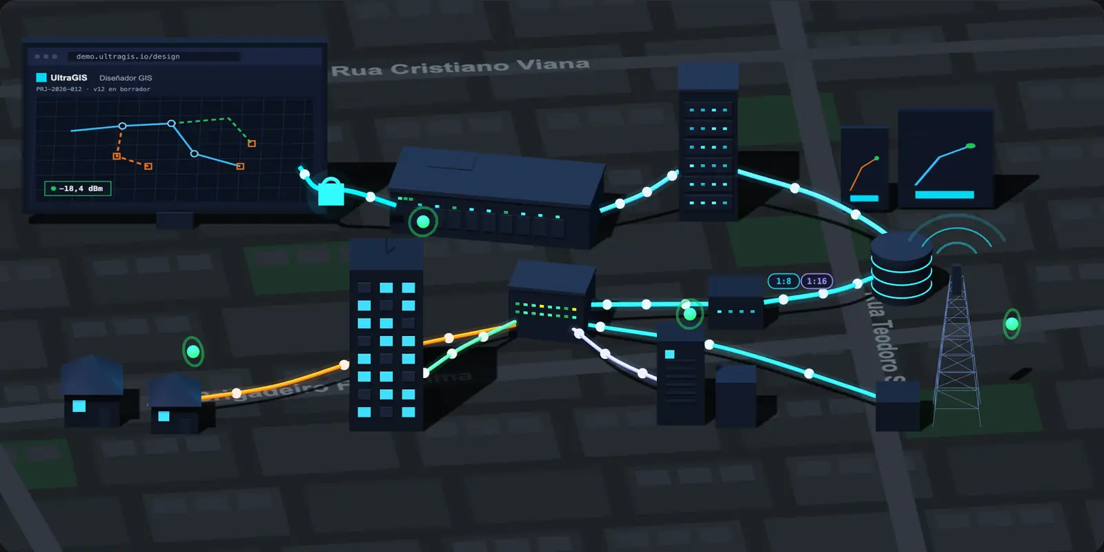
OLT, ODF, splice closure, splitter and NAP box, with FTTH, FTTB, FTTC and FTTA branches. Every fiber with its power level, in the same model used by design, field and NOC.
Built for whoever answers for the network
From the ISP documenting its first NAP to the operator rolling out thousands of homes a month.
Built for the people who build the network every day
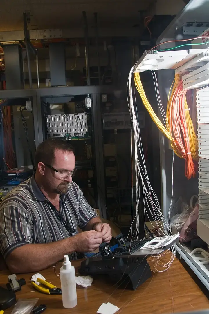
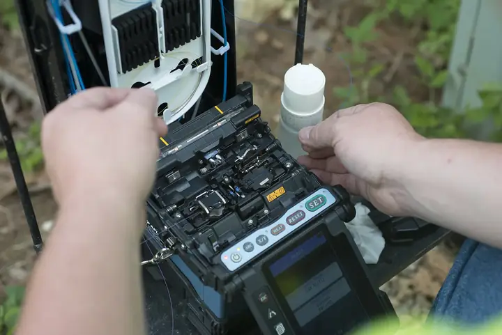
Technicians splicing on the street, crews on the poles and teams at the POP. UltraGIS brings them the right plan in the right place.
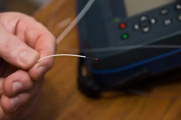
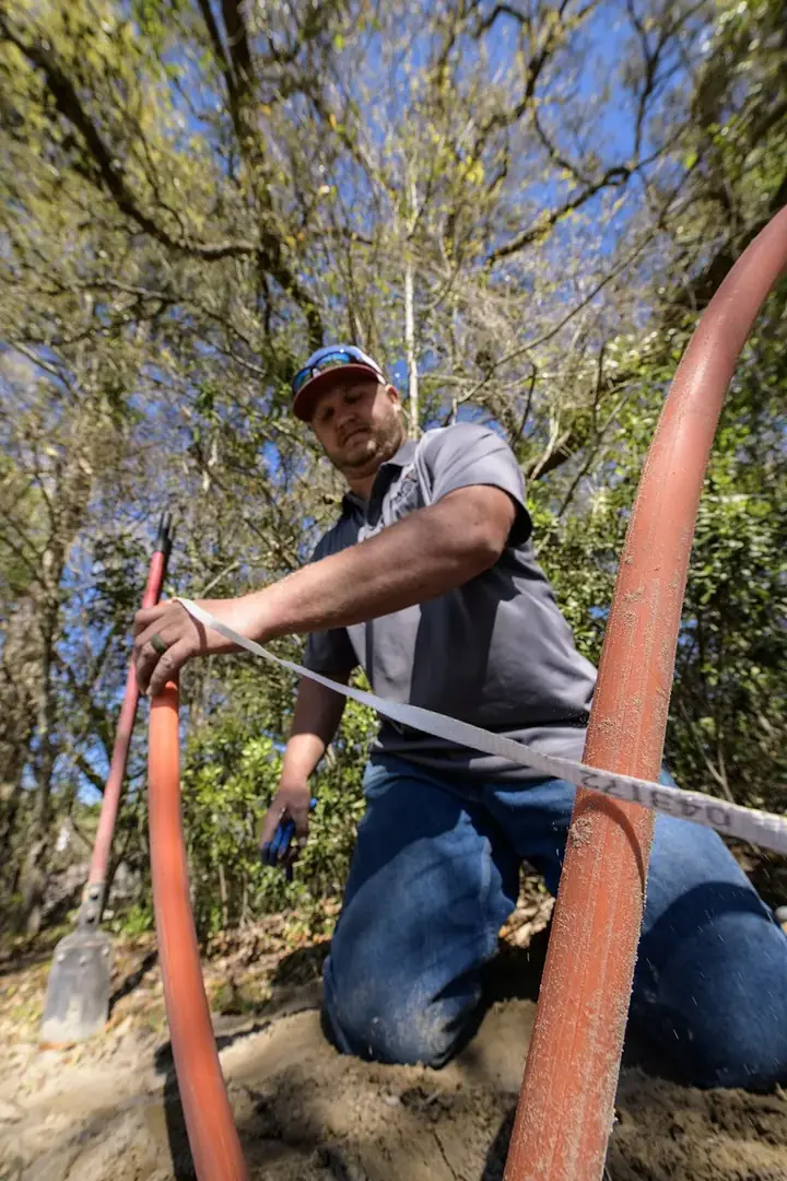
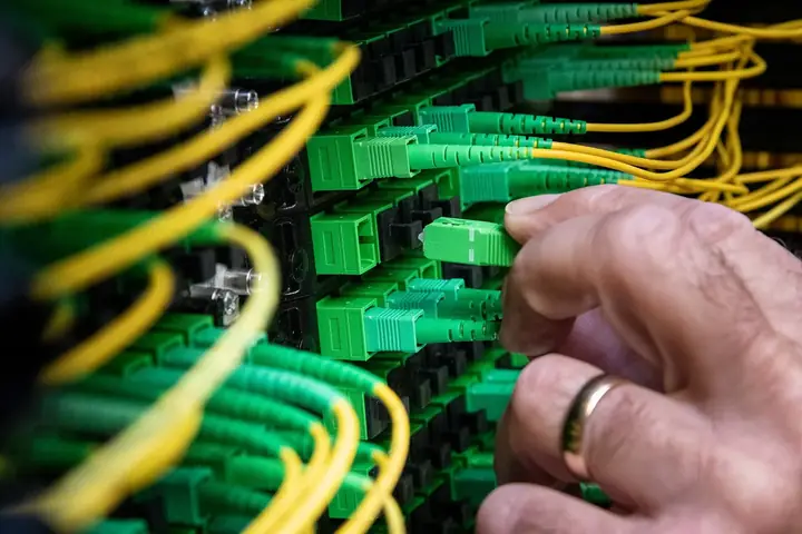
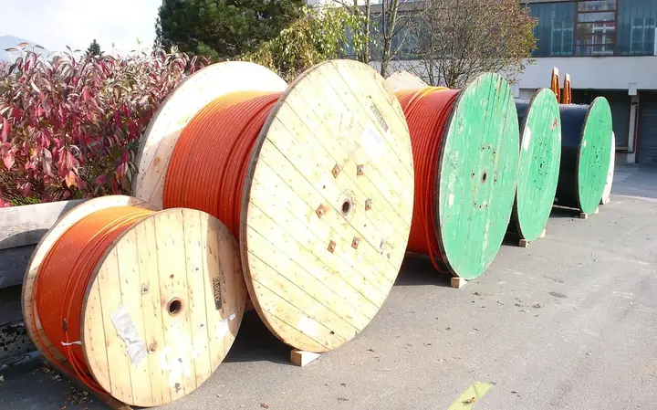
The plan says one thing, the field another and the invoice a third
When design lives in CAD, inventory in a spreadsheet and operations in the ISP system, every handoff loses data. The result: ports listed as free that are not, unrecorded splices and customers sold where there is no power.
From design to growth, without switching tools
Six stages on the same network model. Pick one to see it in 3D.
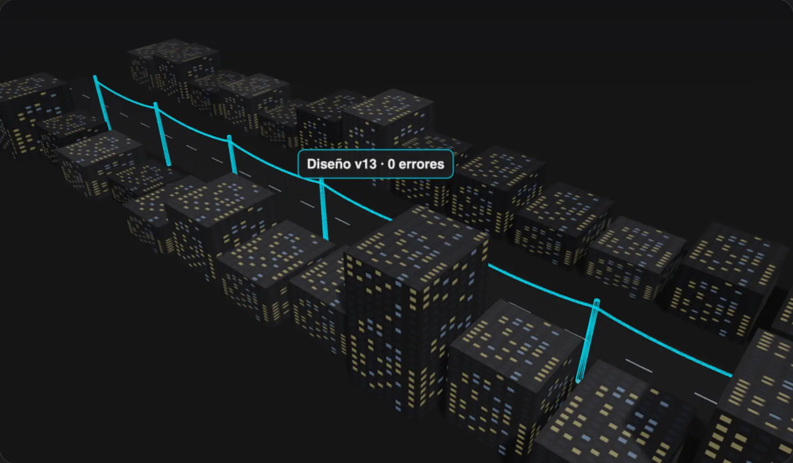
This is what your operation looks like in UltraGIS
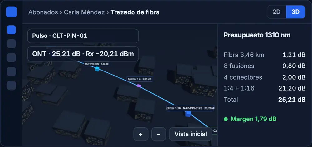
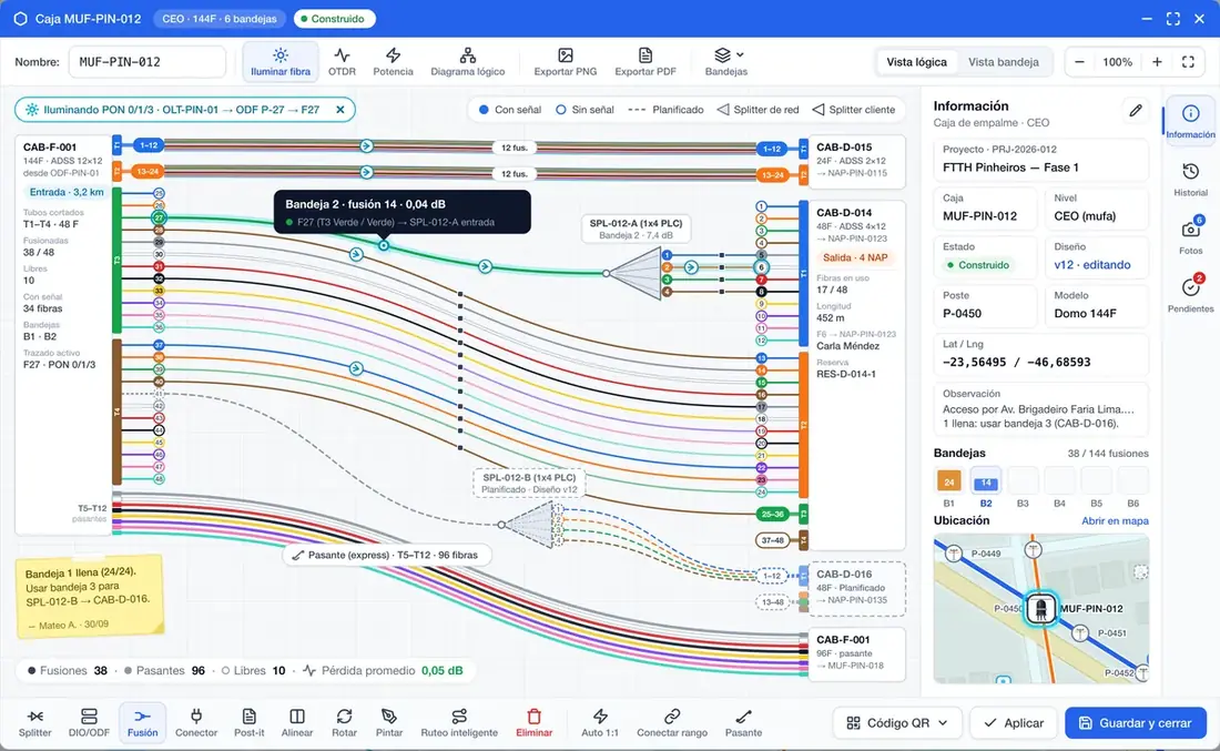
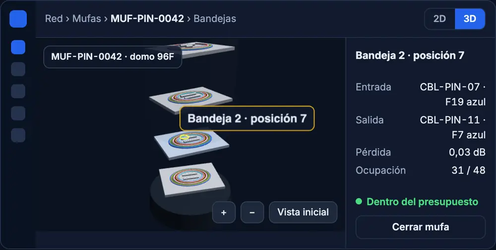
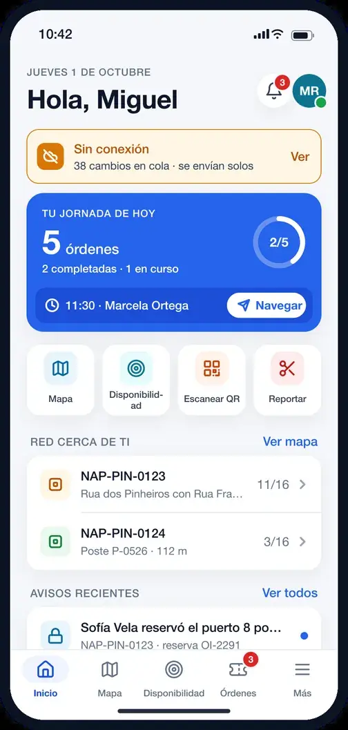
Real product screens with sample data from São Paulo: designer, splice chart, optical trace, 3D closure and the field app.
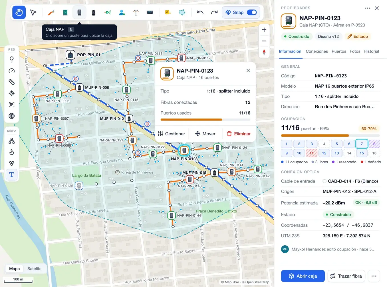
Real fiber engineering, not a map with dots
The FTTH domain is at the core: TIA-598 colors, optical budget per wavelength, splices per tray and real PON ports.
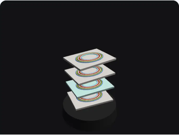
Splices and closures
Splice charts per tray, with every splice in its color and with its loss.
- Logical editor and physical view
- Plan versus actual in the field
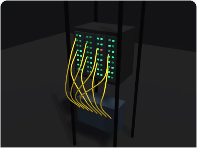
Sites, OLT and ODF
The rack as it is mounted, with each PON's live status from SmartOLT.
- Rack and ODF elevation
- ONU activation from the subscriber
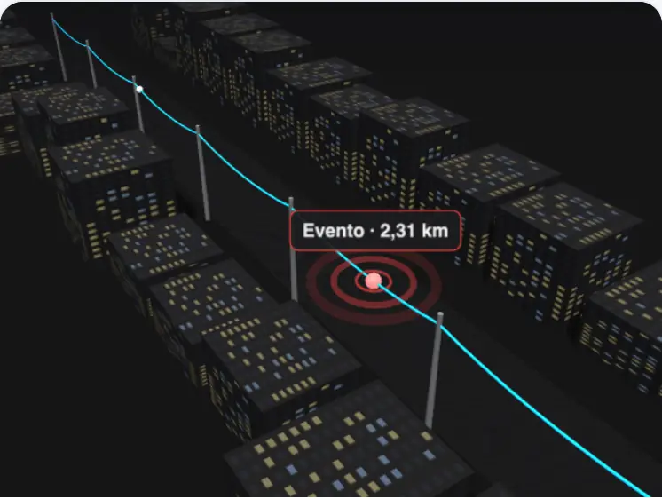
OTDR and outages
Upload the trace and the event shows up on the street, with affected subscribers ready to notify.
- Location on the real cable
- Email notice to those affected
Fast with large networks, accurate to every dB
Designer measurements with 270,000 published nodes and 30,000 cables, production build (2026-11-07).
What changes compared with the usual way
| Capability | UltraGIS | Generic GIS | CAD + spreadsheets |
|---|---|---|---|
| FTTH network model (fibers, ports, splitters) | Yes | Partial | No |
| Automatic optical budget per path | Yes | No | No |
| Versioned design with approval and publishing | Yes | Partial | No |
| Offline field app | Yes | Partial | No |
| Subscribers, feasibility and SmartOLT | Yes | No | No |
| 3D views of network, closures and racks | Yes | Partial | No |
| Published price in USD | From USD 50 | On request | Per-seat licenses |
Connects with what you already use
Latin American ERPs and CRMs, SmartOLT and a documented API with sandbox, signed webhooks and SDK.
-
 SmartOLT
-
 IXC Soft
-
 MK Solutions
-
 SGP
-
 Voalle
-
 Hubsoft
-
 WispHub
-
 Mikrowisp
-
 HubSpot
-
 Zoho CRM
-
 HighLevel
-
 Zapier
-
 Google Sheets
-
 QGIS
-
 Stripe
-
 Claude · MCP
-
 MapLibre
-
 OpenStreetMap
# Is there service at this address?
curl https://bi-red.ultragis.xyz/api/v1/public/availability \
  -H "Authorization: Bearer ug_live_…" \
  -d '{"address":"Rua dos Pinheiros 870, São Paulo"}'

# → available · NAP-PIN-0123 · 4 free ports
#   Estimated Rx −20.6 dBm · Fiber 300/600/1 Giga plans
- The whole API is also available as MCP tools for AI assistants, with human approval on every write.
- HMAC-signed webhooks with retries.
- JavaScript SDK and availability widget for your website.
- Vector tiles and OGC API Features for QGIS.
Principles we don't negotiate
Published price, no sales call
Start free for 7 days. With annual billing, 2 months are on us.
7 days to design a small project end to end, no card required.
- 300 homes passed
- 1 office users
- 1 field technicians
For the ISP documenting and migrating its network.
- 3,000 homes passed
- 3 office users
- 2 field technicians
Design, operations and sales, connected.
- 15,000 homes passed
- 8 office users
- 8 field technicians
White label, custom domain and SSO for large networks.
- 75,000 homes passed
- 25 office users
- 40 field technicians
What people ask us before they start
Can I import my current network?
Yes. KMZ, KML, GeoJSON, Shapefile, DXF and CSV, with automatic reprojection from Latin American coordinate systems (SIRGAS, MAGNA-SIRGAS, ITRF) and a preview before you confirm.
Does the field app work without signal?
Yes. The technician downloads the package for their area and works offline: orders, photos, splices and signature. Changes sync with conflict control when the signal returns.
Do I need to install anything?
No. UltraGIS runs in the browser and the field app installs as a PWA on Android or iPhone from the same link, with no app stores.
How do you calculate the optical budget?
Along the real path, from the OLT to the ONT: attenuation per kilometer by wavelength, splices, connectors and splitters. The method is published and every value can be audited segment by segment.
Does it integrate with my ERP or CRM?
Yes. We have connectors for IXC Soft, MK Solutions, SGP, Voalle, Hubsoft, WispHub and Mikrowisp, and for HubSpot, Zoho CRM and HighLevel. For everything else, Zapier, signed webhooks and the API.
Does it work with SmartOLT?
Yes. You activate the ONU from the subscriber record, see each PON's status on the map and we reconcile what SmartOLT has with what your network says.
Are the 3D views mandatory?
No. They are off by default: each person turns them on in their preferences and the administrator can disable them for the whole company. Without 3D, everything works the same in 2D.
What happens to my personal data and my subscribers' data?
It is encrypted, masked by role and every access is recorded in an immutable audit log. We comply with LGPD (Brazil), Law 1581 (Colombia) and LFPDPPP (Mexico), and you can export everything whenever you want.
Can I use my own domain and brand?
Yes, on the Enterprise plan: your own domain with a certificate, your logo and colors inside the app, and SSO with Microsoft Entra ID, Google Workspace or Okta.
How does the free trial work?
You get 7 days to design a small project end to end, no card required. When it ends you pick a plan or your account becomes read-only; nothing is deleted.
Can I change plans or cancel anytime?
Yes. You change plans from the app and the adjustment is prorated. If you cancel, you keep access until the end of the period and can export your whole network.
Which languages is it available in?
The app, the field app and the emails are in Spanish, English and Portuguese; this website is also in French.
What does the AI assistant do?
It answers questions about your network, suggests and explains, but it doesn't decide: it doesn't see personal data and any change it proposes needs your preview and approval.
Do you offer support and training?
Yes. Online help and email on every plan, and onboarding training on the Enterprise plan. Technical demos are run on a section of your own network.